Business Imprint
Growing Interest In The Satellite Business
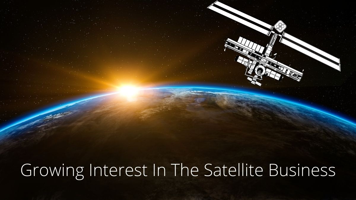
Today, the satellite industry is rapidly developing. From 2019 to 2021, the number of satellites has tripled and amounted to about 6 thousand objects. By 2030, a number may exceed 50,000.
This growing interest is due to the reduction in the satellite cost and size and software improvement. As a result, the creation and launch of spacecraft have ceased to be the prerogative of only governments and the wealthiest companies. More and more private companies provide various services using satellite technology. So, farmers can get high-resolution satellite imagery to predict the weather and manage crops. From a broader perspective, satellite data can help us solve the biggest challenges for humanity: predict pandemics, control deforestation, and combat the effects of climate change.
How Satellites Help Observe The Earth’s Surface
Satellites scan the Earth using different wavelengths. It enables them to analyze the condition of the soil, plants, and much more. Besides, as the space commercialization goes on, more and more companies launch their own satellites for different purposes.
A striking example of commercial satellite constellation launch is the EOS SAT project by EOS Data Analytics. It’s 7 satellites equipped with 11 bands that will allow retrieving the essential data for agricultural monitoring specifically. As the company already has software products developed for agriculture and forestry, EOS SAT satellites that are set to orbit the Earth by 2025, will allow for improving the products’ accuracy and efficiency even more thanks to the constellation’s orientation on vegetation monitoring. Moreover, using advanced AI algorithms, EOS Data Analytics constantly improves the technology by offering higher resolution satellite images via its software products developed for farming, forestry, and 20 other industries.
In addition to agricultural work, satellites also help in other vital areas. For example, scientists can predict global warming by analyzing rising sea levels and shrinking glaciers. Equally important is the assistance of satellites in the fight against the consequences of natural disasters. So, Australian authorities used satellite imagery to help those affected by wildfires in early 2020.
How To Choose High-resolution Satellite Imagery Provider
Given different satellite technology providers, choosing the most reliable one is crucial. To assess the quality of the services provided, the manufacturer’s reputation on the Internet is suitable. Here you can find detailed information about any provider, including user reviews. Pay attention to the ratio of positive and negative statements. At the same time, do not forget that some of the negative reviews may belong to the competitors of a particular provider.
EOS LandViewer by EOS Data Analytics is one of the leading AI-based satellite data providers. One of the platform’s advantages is access to many high-resolution satellite imagery libraries, including those with historical images. Thus, users receive qualitative data for all areas of their activities.
LandViewer enables search, analytics, and download of satellite imagery, making it a full-circle tool for users. It offers imagery analytics based on more than 20 band combinations and indices, including NDVI and MSAVI. EOS LandViewer integrates many useful features and is a versatile tool for satellite imagery search and analytics across different industries and their needs.
New Areas of Application of Satellite Imagery And Data
The proliferation of applications using high quality satellite images facilitates the emergence of new areas of their use.
Satellites For Urban Management & Smart Cities
Studies show that by the middle of the 21st century, about two-thirds of the population will live in cities. Remote zoning technology optimizes the process of urban planning by providing data on the population’s demand for an increase in living space, the planning of urban buildings with 3D modeling, and the state of the environment within the city (for example, carbon footprint).
Satellite Products To Help Food Producers
Satellite products allow you to monitor production using vegetation indexes that display information about the state of the soil, plants, water, and air, the presence of problem areas, and weather changes. One such platform is Crop Monitoring by EOSDA. Moreover, food producers can achieve data from field equipment for visualization on a virtual map, significantly improving the analysis of work carried out. Additionally, users can share monitoring results with their partners, contributing to the transparency of production and optimization of supply chains.
Thus, satellites are already crucial for developing various areas, including agriculture. In the future, their influence will only increase. In this regard, along with investments in creating projects based on high res satellite images, the development of insurance in this industry and group financing of small satellites becomes vital to reduce risks for launch providers.


What is my Instagram URL? How to Find & Copy Address [Guide on Desktop or Mobile]

Best Instagram-like Apps and their Features
B2B Instagram Statistics in 2024

How to Unlist your Phone Number from GetContact

About Apple Employee and Friends&Family Discount in 2024
What is my Instagram URL? How to Find & Copy Address [Guide on Desktop or Mobile]

Applob.com Download APK – Tweak your device Safe
About Apple Employee and Friends&Family Discount in 2024
How to Translate more 5,000 characters limit by Google
How to Unlist your Phone Number from GetContact
-
Marketing Tips24 hours ago
What is my Instagram URL? How to Find & Copy Address [Guide on Desktop or Mobile]
-
 Business Imprint2 days ago
About Apple Employee and Friends&Family Discount in 2024
-
 App Development2 days ago
How to Unlist your Phone Number from GetContact
-
 News3 days ago
Open-Source GPT-3/4 LLM Alternatives to Try in 2024
-
 Crawling and Scraping3 days ago
Comparison of Open Source Web Crawlers for Data Mining and Web Scraping: Pros&Cons
-
 Grow Your Business24 hours ago
Best Instagram-like Apps and their Features
-

 Grow Your Business3 days ago
How to Become a Prompt Engineer in 2024
-
Marketing Tips24 hours ago
B2B Instagram Statistics in 2024